

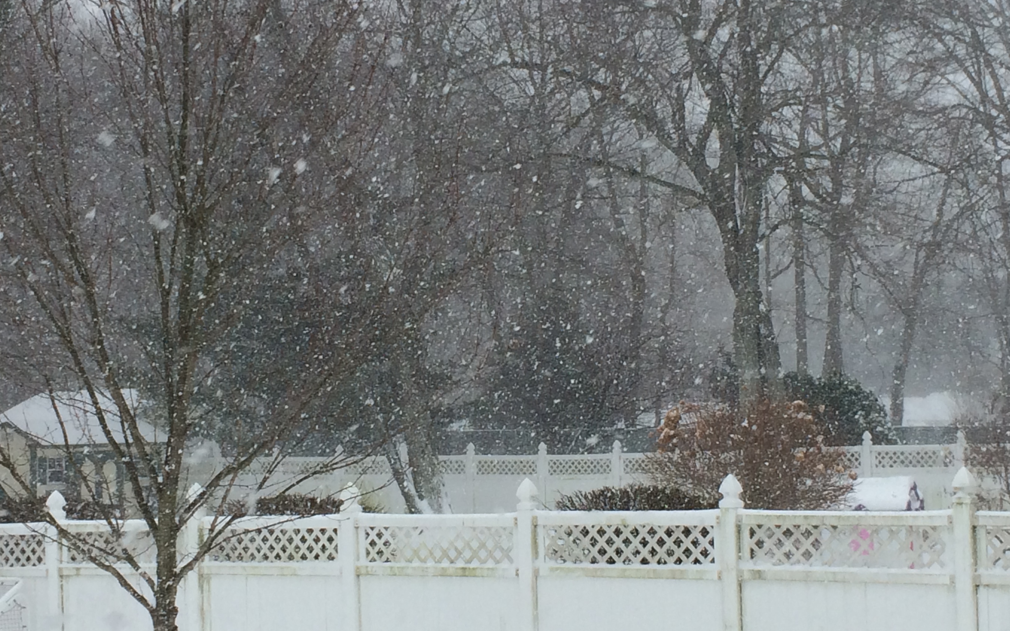
Residents woke up this morning to a thick cloud of gusting snow out their windows, but snowfall accumulations less than expected.
It was “Snow Big Deal,” quipped the New York Post.
The National Weather Service has lifted the Blizzard Warning for the Monmouth County area, but cautioned residents be aware of hazardous weather. Forecasters say residents could see another 1-3 inches of snowfall, with blustery snow conditions until 3 p.m., then snow likely in the late afternoon, and a chance of snow showers before 7 p.m.
“The science of forecasting storms, while continually improving, still can be subject to error, especially if we’re on the edge of the heavy precipitation shield,” said the US Weather Service out of Mount Holly, on its Facebook Page. “Efforts, including research,are already underway to more easily communicate that forecast uncertainty.”
A statewide travel ban has been lifted in New Jersey and New York. Schools and many non-essential municipal offices will remain closed Tuesday. NJ Transit service will have limited rail service; service updates will be posted here. Seastreak Ferry departed from Highlands at 8 a.m., and will operate on a modified schedule, but announced its last departure Tuesday will be from East 35th St. will be at 5:10 pm, and the last departure from Pier 11 will be at 5:30 pm., stopping at both Highlands and Atlantic Highlands.
Port Authority bridges and tunnels are re-opened. PATH Service will be restored at 9:30 am on a weekend schedule, NWK-WTC & JSQ-33 via Hoboken, operating every 15 minutes.
— Christina Johnson


